
Service Details
Technology List
Download Catalog
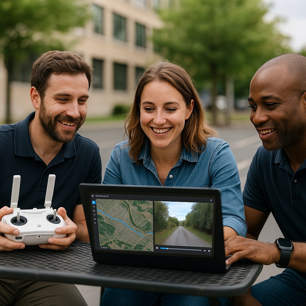
Geolocated video for monitoring, documentation, and visual-spatial analysis
GeoMotionVideo enables synchronized viewing and analysis of video footage linked to geographic positions. Whether from drones, mobile devices, or patrol vehicles, the video is played in tandem with its corresponding location on the map — helping teams analyze routes, events, and inspections visually.
- Synchronized video and map visualization
- Georeferenced video support from drones, patrols, and mobile feeds
- Visual inspection and post-incident review
- Real-time or recorded playback of field operations
- Powered by Ipsilum Core’s processing and integration capabilities
With a user-friendly interface and seamless integration, GeoMotionVideo helps bridge the gap between what happens on the ground and how it's managed at a strategic level.
It’s an essential tool for operational tracking, emergency response, infrastructure inspection, and any scenario where video and location must go hand in hand.