
Service Details
Services List
Download Catalog
Desktop power for advanced geospatial processing and local data editing
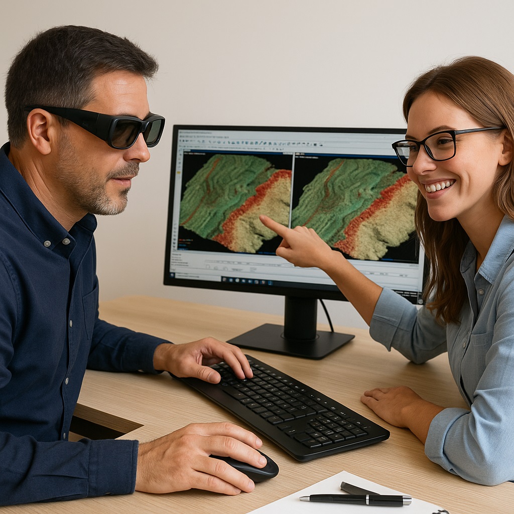
OrtoSky is the desktop module of the Ipsilum platform, specifically designed for heavy-duty geospatial tasks such as photogrammetric processing, LiDAR classification, and 3D modeling. It bridges the gap between field data and cloud-based workflows.
- Photogrammetric restitution from aerial or drone images
- Generation of vector data and quality control
- Manual refinement of LiDAR datasets
- Local editing and validation before cloud synchronization
- Fully integrated with Ipsilum Core
Built for professionals who need precision and control, OrtoSky enhances productivity in demanding workflows while ensuring seamless compatibility.
It’s the ideal choice for photogrammetrists, GIS technicians, and quality control experts working with high-resolution and complex datasets.