
Geospatial + Big Data: when analysis stops being just a map and becomes real-time intelligence.
We are witnessing a turning point in how geospatial information is managed and used. Traditional models—built around static systems, local servers, and isolated datasets—are rapidly becoming obsolete. The future lies in browser-based computation, cloud-native architectures, real-time data fusion, and edge-based intelligence, even in disconnected environments.
Organizations across civil sectors, emergency response, and security operations need more than visualizations—they need the ability to act, analyze, and adapt in real time, with full awareness of their territory and resources.
Today’s most critical advances are built on several key principles:
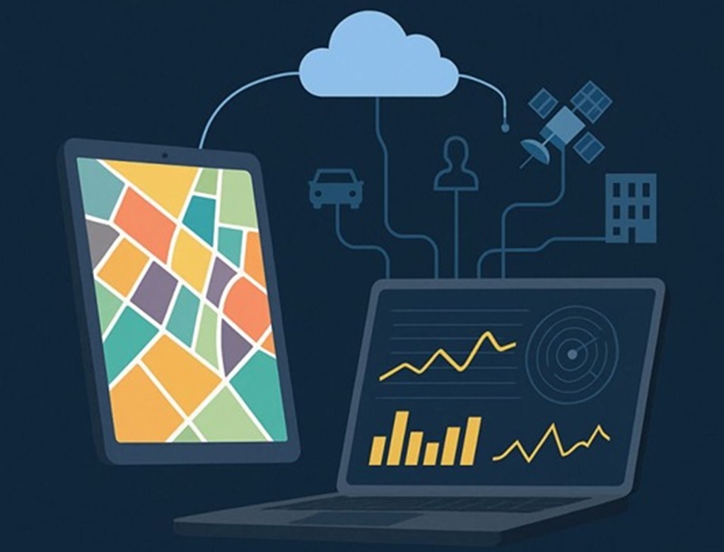
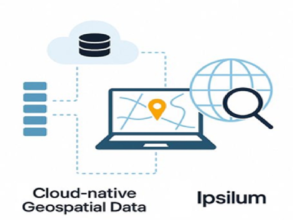
Cloud-native access to data. We work directly with geospatial data where it lives—without copying or relocating it—enabling scalable, resilient, and distributed workflows across any environment.
Real-time analytics from the browser. Processing no longer depends on centralized infrastructure. Advanced spatial analysis and decision-making tools are now available directly from the browser, putting the power of intelligence in the hands of users—where and when they need it.
Edge computing and offline capabilities. Operations don't stop when the connection is lost. We ensure full analytical functionality at the edge—on mobile, tablets, or field stations—with automatic synchronization when connectivity returns. This makes our systems truly operational, even in remote or high-risk contexts.
Dynamic event management and data-driven action. We manage millions of real-time events—from vehicles, sensors, drones, and other sources—enabling reactive, event-driven workflows that keep teams and systems continuously updated and coordinated.
Unified analysis across structured and unstructured data. We bring together spatial data, time series, mobility patterns, sensor streams, and operational records in a single analysis framework. This convergence—often called a data lakehouse model—breaks down silos and unlocks a new level of strategic insight.
What does this all mean? That geospatial technology is evolving beyond maps. That spatial insight must be immediate, embedded, and everywhere. And that the fusion of GIS with large-scale data intelligence is no longer optional—it’s critical to mission success.
At Ipsilum, this is not just a concept—it’s our roadmap.
Our platform is designed for this new reality: modular, integrated, and ready to run from browser to field, from cloud to secure infrastructure.

Geospatial is changing.
Not into more layers—into more intelligence, more interoperability, and more impact.