
Serverless Processing in the Browser: A New Way to Analyze Geospatial Data Without Complexity
Technical post. This series explains how we manage information and processes in Ipsilum in a way that’s accessible for non-expert users. Our goal is to make life easier for people who don’t need to know what Jupyter is—or how a geospatial database works. We want them to be able to run advanced analytics with the same ease as checking a map or filling out a form. That simple. That powerful.
What Does This Mean in Practice?
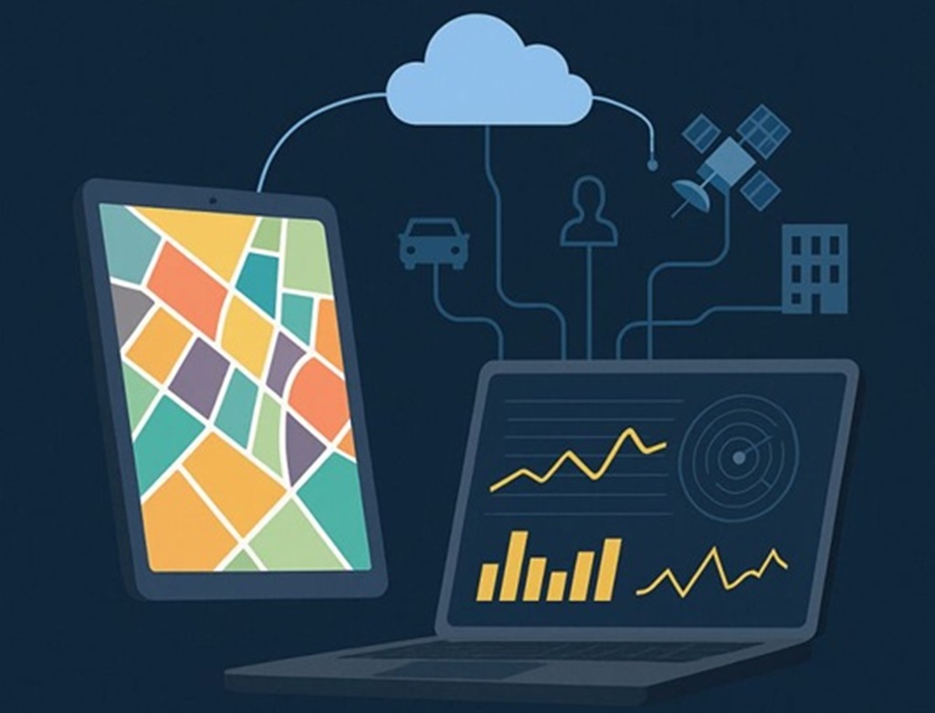
At Ipsilum, the traditional GIS logic has changed radically. We no longer rely on heavy desktop workstations or environments like QGIS or ArcGIS Pro. The analysis engine now runs inside the browser. This is possible thanks to a serverless approach, where both the data and processing modules are hosted in the cloud, and execution can take place from any node in the system.
What Does This Mean in Practice?
Ipsilum now allows you to execute complex analysis processes directly from the browser, with no installation required. Here’s how it works: The user triggers a process from the browser (e.g., optimal zone analysis). The platform generates the required code (e.g., in Python or SQL). That code is executed in the browser, accessing data already in the cloud, with no need to move or duplicate it. This is where it gets interesting: the data may be stored in simple objects (GeoJSON, GeoParquet) or in more advanced formats like S3 + Iceberg.
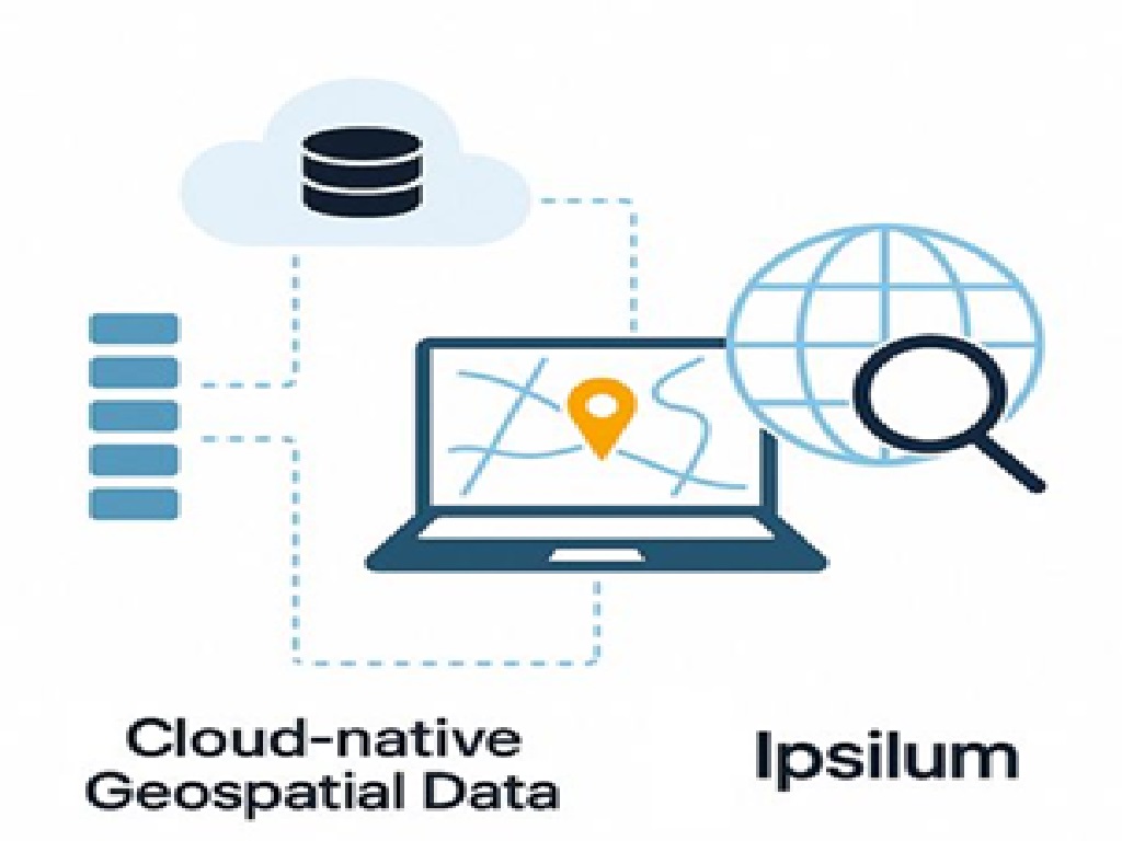
Data in S3 + Cloud-Native Architecture
Storing data in S3-like object storage allows for scalable, selective, remote access to massive datasets. If combined with modern table structures (e.g., partitioned, versioned, schema-evolving formats like Iceberg), this enables: Instant access to large datasets directly from the browser. Incremental, auditable workflows. Attribute-, time-, or region-selective reads without scanning the full dataset. This is redefining geospatial analysis. Without naming it, we’re talking about the emerging concept of the geospatial lakehouse: open data, optimized formats, and no unnecessary replication.
What Types of Processes Can Run in the Browser?
With Ipsilum, you can launch: Python scripts, e.g., for buffer generation or spatial indicators. SQL queries, both for classic databases like PostGIS and columnar engines like DuckDB. Advanced spatial processing on distributed datasets—without needing to know you’re doing spatial joins or R-tree indexing. All of this happens in the browser, delivering the same analytical power you’d expect from professional desktop GIS—but with a much simpler interface.
What’s Next? This article focuses on the first of three execution modes in Ipsilum: serverless browser-based processing. In upcoming posts, we’ll explore: Backend-based processing (distributed orchestration) Cloud-optimized processing (multi-node, balanced workloads)
What Types of Processes Can Run in the Browser?
With Ipsilum, you can launch: Python scripts, e.g., for buffer generation or spatial indicators. SQL queries, both for classic databases like PostGIS and columnar engines like DuckDB. Advanced spatial processing on distributed datasets—without needing to know you’re doing spatial joins or R-tree indexing. All of this happens in the browser, delivering the same analytical power you’d expect from professional desktop GIS—but with a much simpler interface.
Want to see it in action?
Request access to Ipsilum at https://ipsilum.com and try the new way of working with geospatial data. Because the future of analysis isn’t on your desktop—it’s already in your browser.