How the way we access and analyze data is radically changing
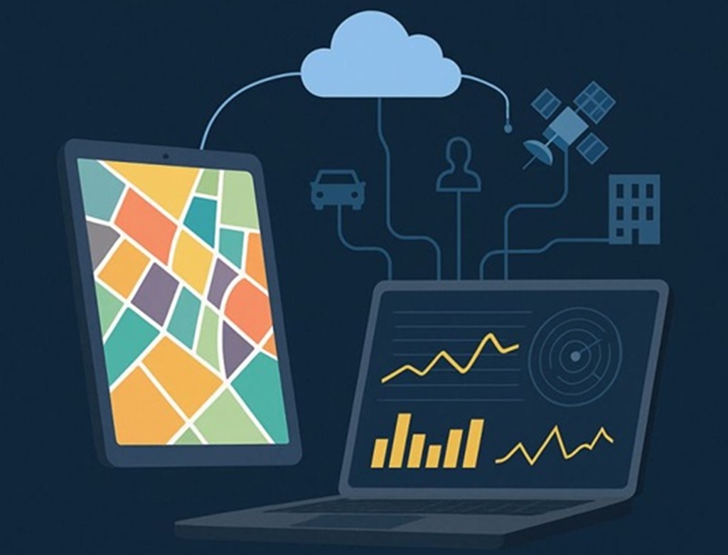
We are witnessing a fundamental shift in how geospatial information is managed and used. Traditional models - based on static systems, local servers, and isolated files - are no longer sufficient. The future lies in browser-based computation, cloud-native architectures, real-time data fusion, and edge-based intelligence, even offline. Organizations across civil, emergency, and security domains need more than visualizations - they need the ability to act, analyze, and adapt in real time, integrating geospatial context into every decision. Today’s transformation is driven by a few key principles:
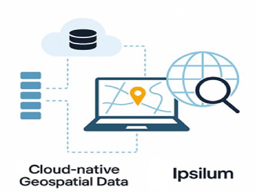
Cloud-native access to data Rather than copying or moving geospatial data, modern systems now access it directly in place - typically in cloud object storage, using open formats and optimized structures. No duplication of files or services. Scalability without performance degradation. Sustainability, by reducing data movement and replication. This shift enables large-scale, distributed workflows that would be unthinkable with traditional desktop GIS or local database approaches.
Efficient, selective processing at scale Columnar engines allow you to read only the information you need—specific attributes, areas, or timestamps—without scanning the entire dataset. Combined with modern table formats that support versioning, schema evolution, and partitioning, this architecture empowers: Real-time spatial joins with external data. Incremental updates and auditability. Federated analysis across departments or systems.
Moving beyond traditional databases While relational databases like PostGIS remain essential for production pipelines, they are not ideal for cross-system analytics, large-scale integration, or real-time applications. Cloud-native lakehouse architectures offer: Better interoperability with modern data platforms (ML, BI, real-time processing). Lower latency for live queries. Unified governance for structured and unstructured geospatial data.
The power of spatial joins, reimagined The ability to join geospatial data with other domains - not just by ID, but by spatial relationships—at scale, and in real time, is a game changer. This enables organizations to: Merge live data from routing engines, traffic feeds, or field sensors. Connect operational data with geospatial layers for strategic insight. Work with datasets never before processed together due to scale or incompatibility.
The challenge: simplicity for the user
All this technology - metadata engines, columnar tables, distributed compute - means nothing if users can't easily access, understand, and act on the data. That's why: Interfaces must be transparent and intuitive. Systems must operate directly in the browser without setup or local installs. Results must be meaningful and immediate. At Ipsilum, we’ve spent the last years preparing for this shift. Our platform, is built from the ground up to operate in this new paradigm.At Ipsilum, this is not just a concept—it’s our roadmap.
Our platform is designed for this new reality: modular, integrated, and ready to run from browser to field, from cloud to secure infrastructure.