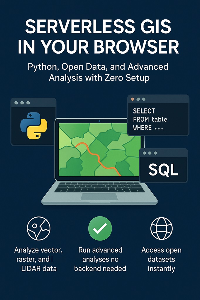
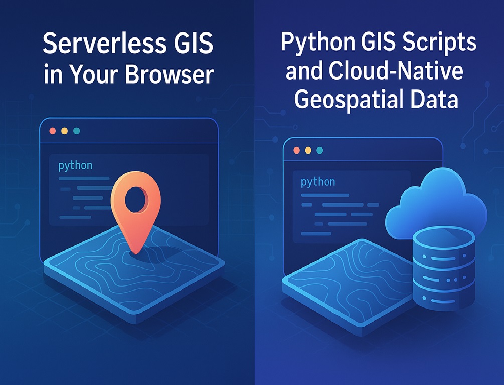
Serverless GIS in Your Browser: Python, Open Data, and Advanced Analysis with Zero Setup
At Ipsilum, we've redefined how geospatial data is processed and analyzed. Our serverless model allows everything to run directly in your browser—no installation, no backend setup, no friction.
🧩 Four execution modes in Ipsilum:
Frontend - JavaScript Frontend - Python Backend, with synchronous response Cloud, for large-scale, distributed or integrated tasks
🔁 Backend processes are short-lived and return immediate results. 🌩️ Cloud processes leverage Ipsilum’s distributed communication engine, enabling orchestration of complex tasks, integration with external systems, and multi-node execution.
This is all possible because…
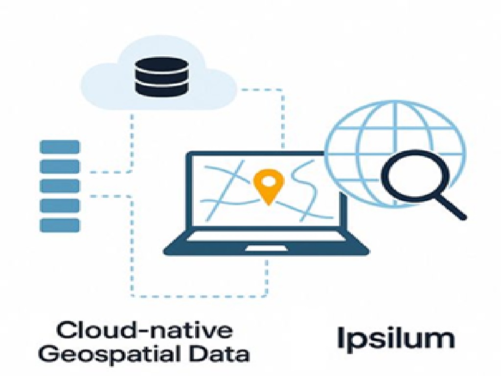
All geospatial content is structured and published in Ipsilum Cloud, using modern cloud-native formats: 📦 GeoParquet for vector data 🗺️ PMTiles for web-optimized vector tiles 🌫️ COGs and COPC for raster and LiDAR respectively 🛰️ Yes, we also support LiDAR data—ready for analysis and visualization, alongside raster and vector datasets. Everything unified, regardless of format or source.
This post highlights Python operators that run entirely in the browser
These processes consume no system resources—they run locally in your browser. Real examples available today: inspect, geometry_info, compute_centroid convex_hull, concave_hull, buffer, clip overlay_intersection, sjoin, explode, dissolve query_gdf, sort_values, count, normalize rotate_geom, translate, scale, drop_duplicates raw_points, is_valid, within, contains, overlaps... 🔗 Check this real example directly : https://sd1.d3.ipsilum.com/ips_functions/op_funcion/clip_example.py
And what about the data?
Ipsilum connects directly to public and open geospatial datasets, from the browser: 🌐 Overture Maps 🌍 OpenStreetMap Spanish Public National data example 🏘️ Spanish Cadastre 🗺️ Land use (SIOSE) 🚗 Transport networks 🏞️ Administrative boundaries ☁️ LiDAR data in COPC format All these can be loaded, processed and combined in real time. No downloads. No duplication. No barriers.
What Types of Processes Can Run in the Browser?
With Ipsilum, you can launch: Python scripts, e.g., for buffer generation or spatial indicators. SQL queries, both for classic databases like PostGIS and columnar engines like DuckDB. Advanced spatial processing on distributed datasets—without needing to know you’re doing spatial joins or R-tree indexing. All of this happens in the browser, delivering the same analytical power you’d expect from professional desktop GIS—but with a much simpler interface.
What does this mean for you?
✅ Analyze vector, raster, and LiDAR data in one place ✅ Run advanced Python logic with no backend ✅ Access authoritative global and national datasets instantly ✅ Share prebuilt analysis processes with non-experts Ipsilum isn’t just GIS. It’s cloud-native geospatial intelligence—without technical obstacles.