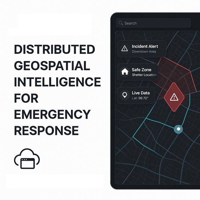
Ipsilum: Distributed Geospatial Intelligence for Emergency Response
When every minute counts, Ipsilum transforms maps and connected devices into effective decisions. From natural disasters to urban crises, traditional GIS platforms are often too slow, complex, or centralized. Ipsilum changes that, offering a cloud-native, intuitive, and distributed platform where any actor—citizen, field operator, or institution—can collaborate in real time.
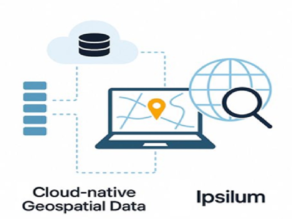
🔍 What is Ipsilum?
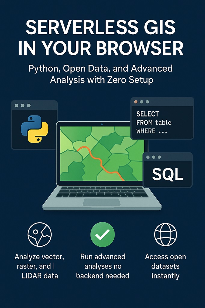
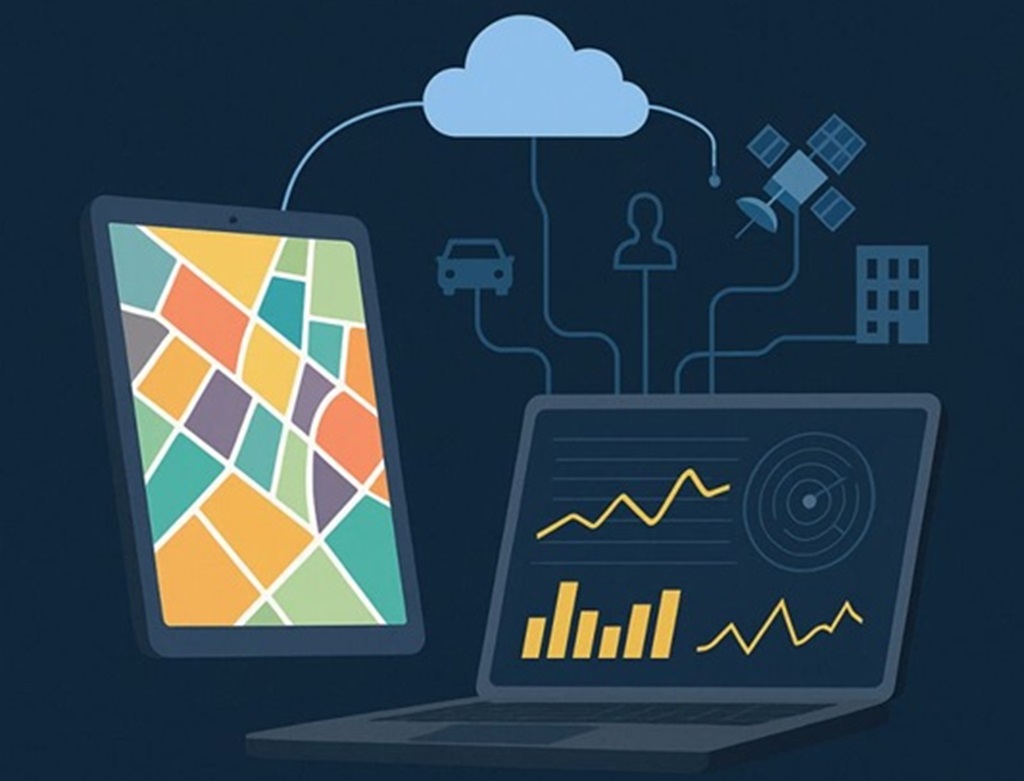
Ipsilum is a cloud-based geospatial platform designed to run directly from your browser—no installations, no technical skills required. It helps visualize territory, coordinate institutions and citizens, and process data right in the browser using serverless technologies.
🧩 Built for Real Emergencies
- ✅ Progressive Web App (PWA): Works even without internet. - ✅ Serverless processing: Executes analysis directly in the browser. - ✅ MQTT protocol: Lightweight communication even in poor network conditions. - ✅ Local storage: Preloads maps, routes, and critical data on the device. - ✅ Secure & traceable: All actions logged with timestamps and geolocation.
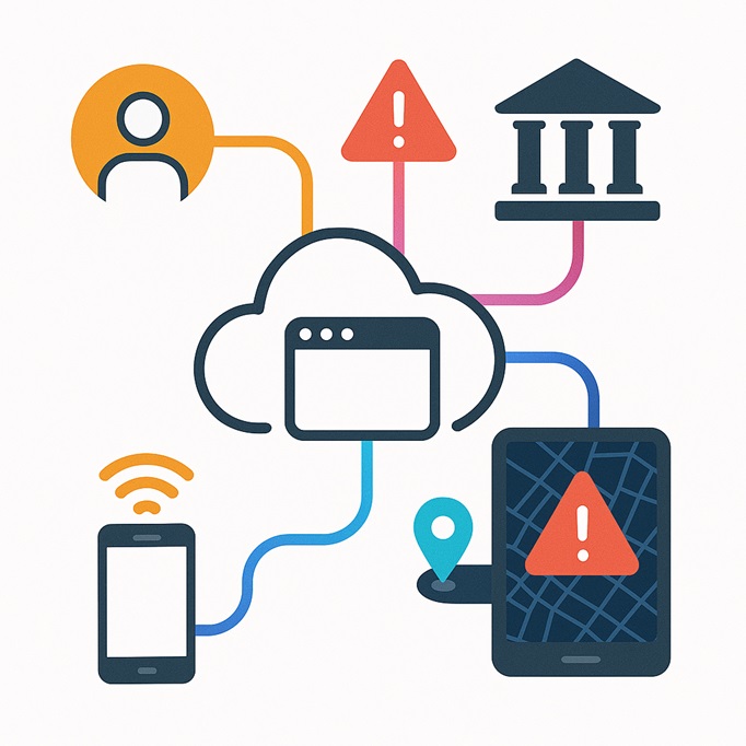
🔁 Two-Way Communication with Devices and Citizens
Unlike traditional systems, Ipsilum enables true bidirectional communication via MQTT: - ✅ Institutions can send area-specific instructions to devices. - ✅ Citizens and field devices can send alerts with real-time location. - ✅ All through low-bandwidth, resilient channels that work in challenging conditions.
🌐 Simple Integration with External Websites
Municipalities or security agencies can connect to Ipsilum without technical support—just insert a JavaScript snippet into their existing websites. This enables: - Citizen tracking and alerting. - Live geolocation reporting. - Real-time participation without app installations.
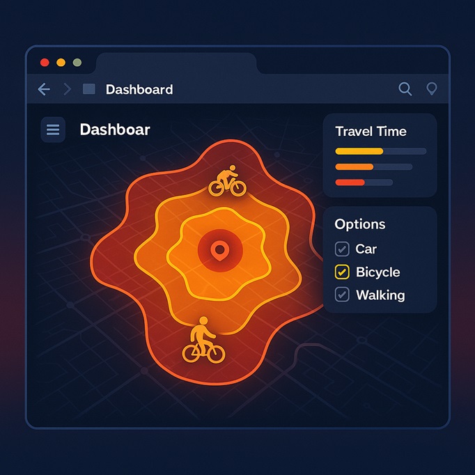
🕓 Ipsilum Across All Phases of Emergency
🟢 Pre-Emergency - Monitor risk zones. - Simulate evacuation routes. - Set up communication channels. - Register and connect all operational nodes. 🔴 During the Emergency - Real-time shared map across institutions. - Receive citizen alerts with precise location. - Offline operation for field teams. - Define safe zones and dynamic routing in-browser. 🟡 Post-Emergency - Update damaged area maps with field data. - Collect visual evidence for insurance and aid. - Keep public communication open. - Use historical data to improve future response.
👥 Who Can Use Ipsilum?
- Public institutions: Emergency, civil protection, local governments. - Field teams: Search and rescue, logistics, health. - Municipalities: No need for IT infrastructure. - Citizens: Join and collaborate from any device, no app required.
🎯 Key Benefits
- 100% browser-based, no installation. - Fast, decentralized, and robust. - Instant integration into existing portals. - Works in areas with poor connectivity. - Traceable and auditable.
✅ Conclusion
Ipsilum is more than a map in the cloud. It’s a new way to act when every second matters. From preparation to reconstruction, Ipsilum empowers decision-makers, responders, and citizens alike with fast, secure, and accessible geospatial intelligence.